Discover the MapSudety Grand Trail Route
The complete face of the SUDETES arranged in one ambitious trail
900 kilometers through 23 mountain ranges and climbing the highest peak of each. From Jarnołtówek in the Opawskie Mountains to the finale at Ślęża.
Discover the Map
Below is the map of the route leading through all 23 Sudeten ranges. Each section has been carefully marked and refined, creating a coherent path from the first step in Jarnołtówek to the finale at Ślęża.
Interactive Map
Click or tap to use
900 km
Route Length
30 000 m
Elevation Gain
1602 m
Highest Peak
About the Trail
SUDETY GRAND TRAIL – the first trail enabling the conquest of the highest peak of each of 23 Sudeten mountain ranges in one route. 900 km in length, approximately 30,000 m of elevation gain through Poland, Czech Republic, and Germany . Start in Jarnołtówek, finish at Ślęża, a mountain of spiritual significance.
From the highest Śnieżka (1603m) through Praděd (1491m), Śnieżnik (1426m), Wielka Sowa (1015m), the rocky labyrinth of Szczeliniec Wielki (919m), the border Biskupia Kopa (890m), to the lowest Lázek (714m) and the mystical Ślęża (718m). This is the complete conquest of the Sudetes!
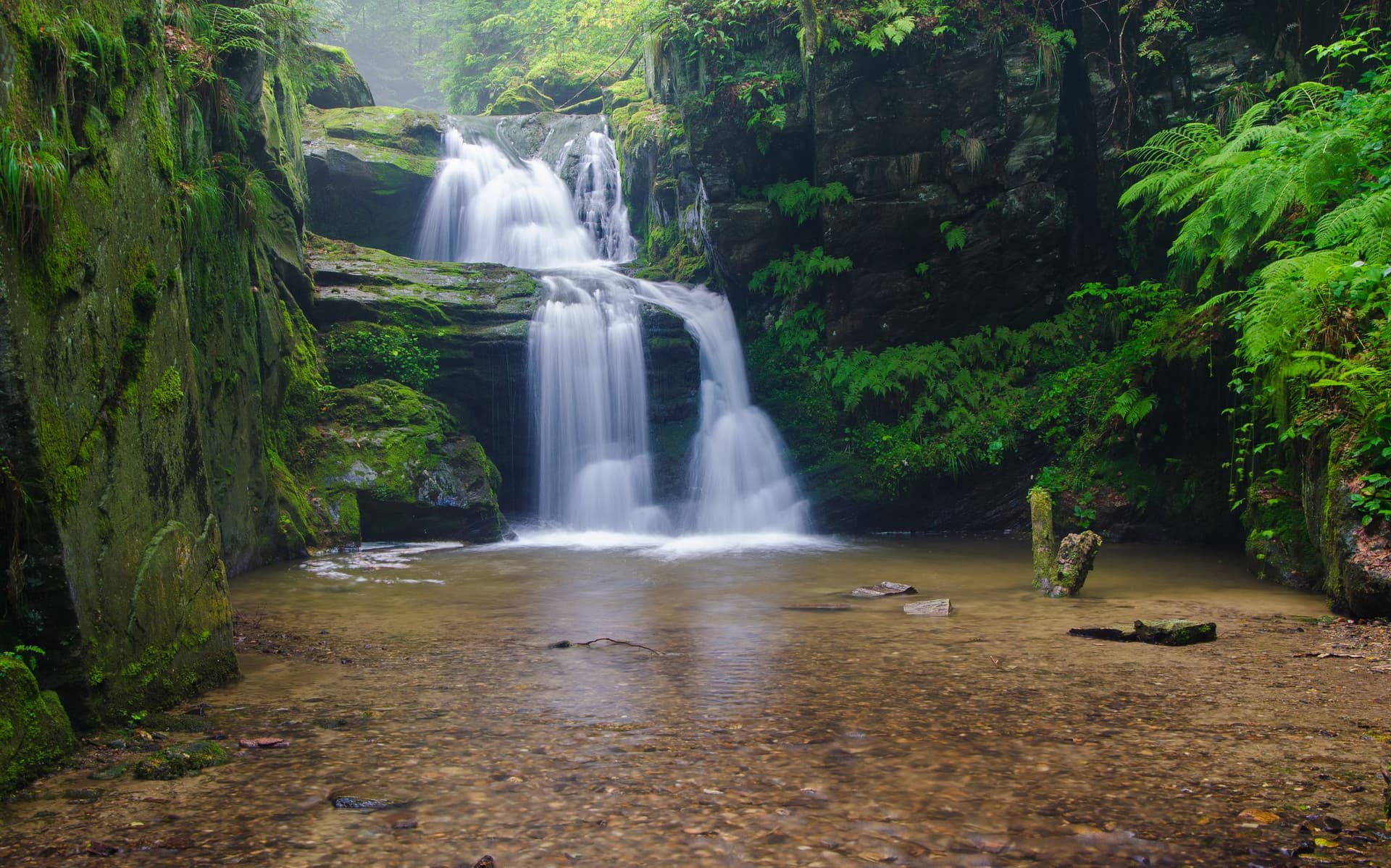
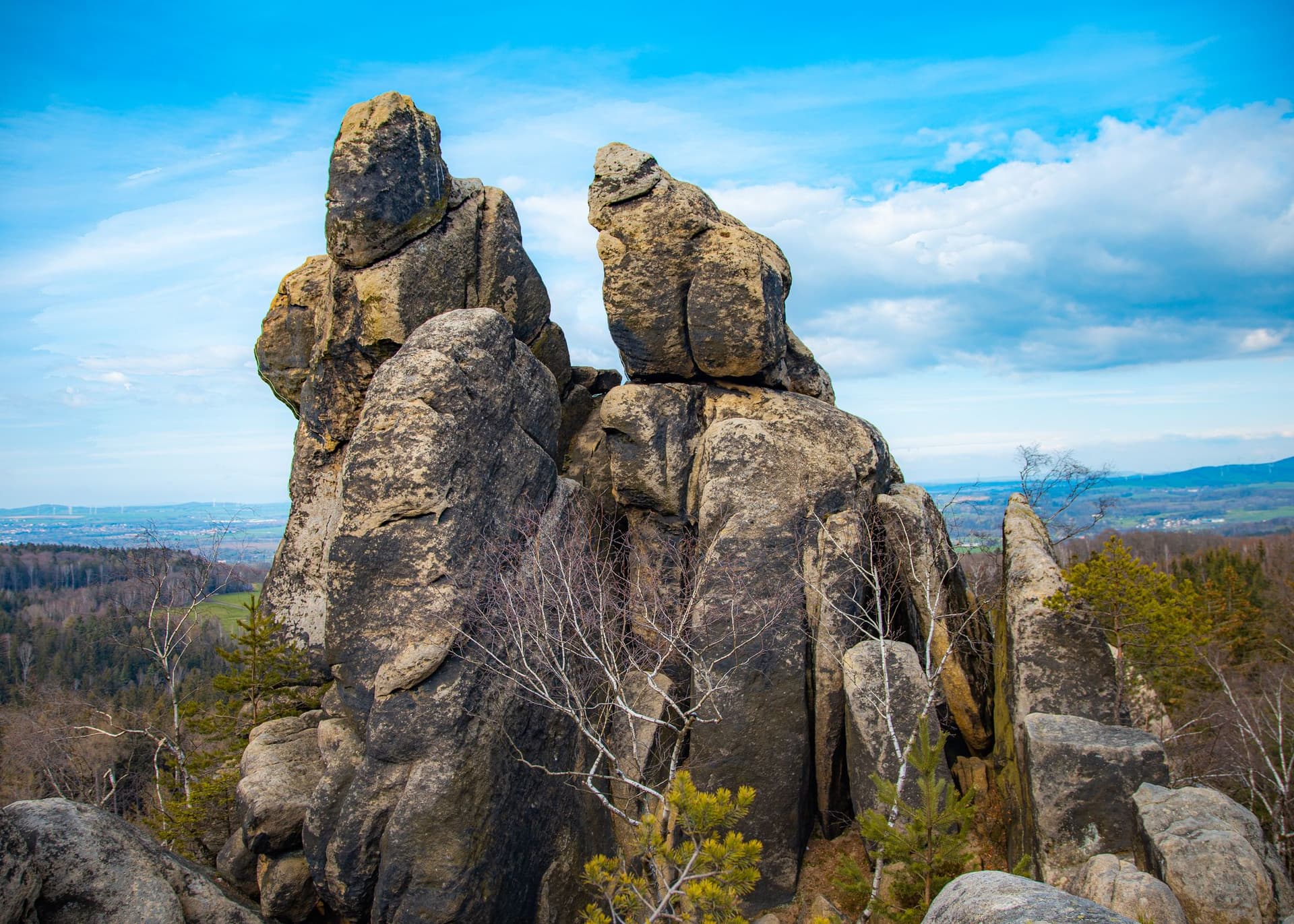
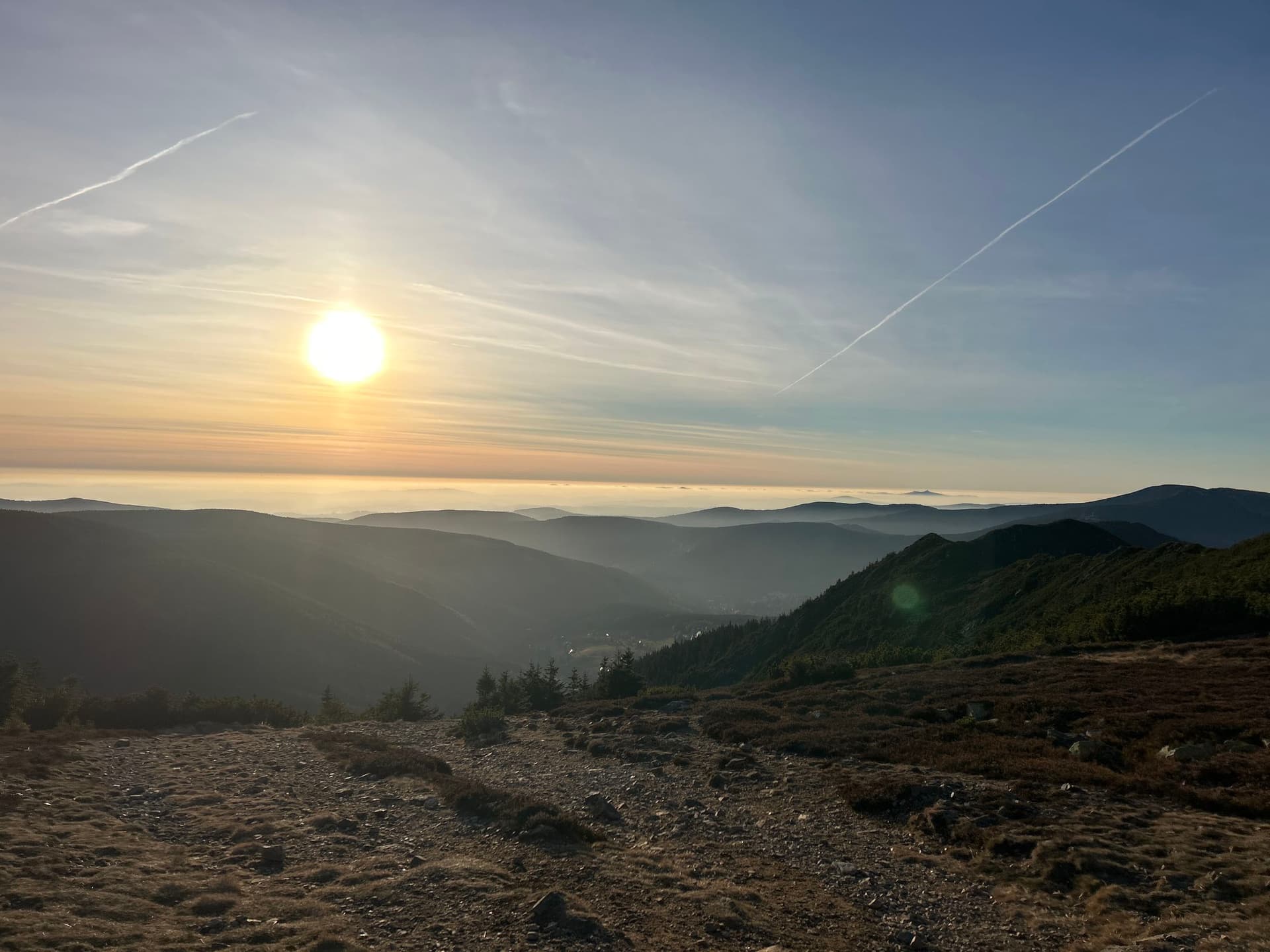
Main Attractions: